The Yellowstone National Park virtual tour on Google Earth offers an immersive experience of America’s first national park. This cutting-edge technology allows users to explore the park’s diverse landscapes, iconic geothermal features, and wildlife habitats from the comfort of their homes. With high-resolution 3D imagery and interactive tools, visitors can virtually navigate through the park’s vast expanse, discovering its natural wonders and planning future trips.
What Features Does the Yellowstone National Park Virtual Tour on Google Earth Offer?

The virtual tour of Yellowstone National Park on Google Earth provides a range of features that enhance the user experience:
- 3D Terrain Visualization
- High-Resolution Satellite Imagery
- Interactive Layers
- User-Friendly Navigation Tools
- Points of Interest Markers
- Distance Measurement and Route Planning Tools
These features allow users to:
- Explore the park’s topography in detail
- Observe current conditions through updated imagery
- Focus on specific geological or ecological aspects
- Navigate easily through different areas of the park
- Identify and learn about key landmarks
- Plan potential visits by measuring distances and creating routes
What Are the Highlights of the Yellowstone Virtual Tour?

The Yellowstone National Park virtual tour on Google Earth showcases several iconic landmarks:
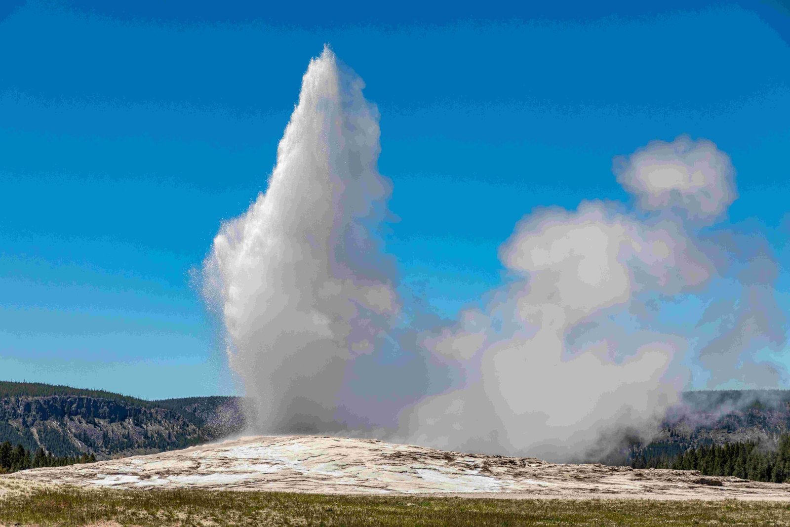
- Old Faithful Geyser
- Location: 44.4613° N, 110.7826° W
-
Features: 3D visualization of eruptions, surrounding boardwalks, and visitor areas
-
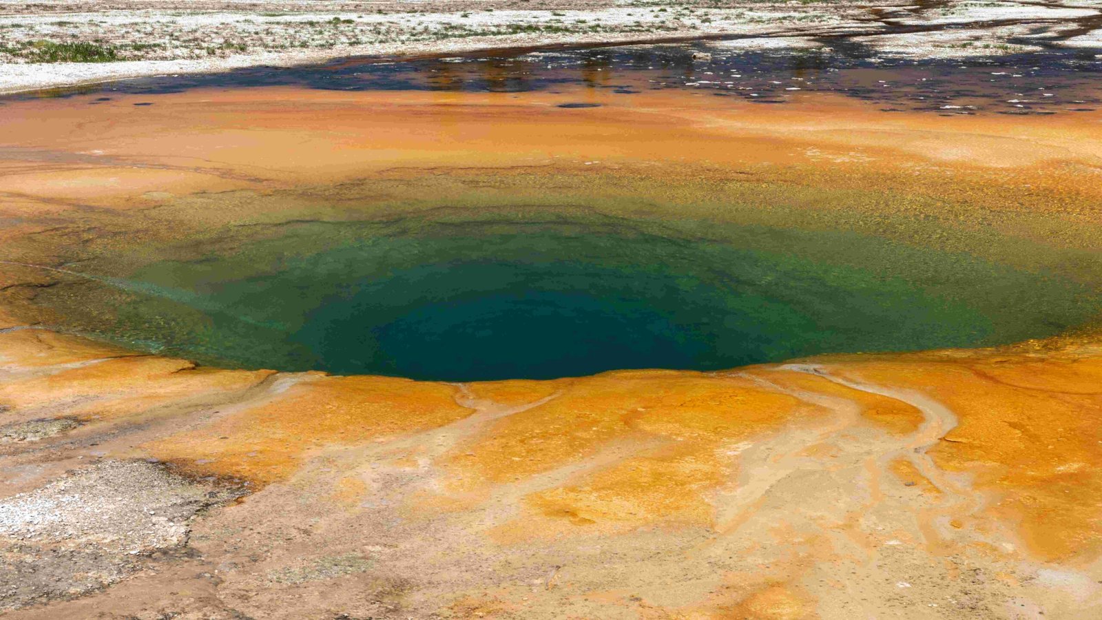
Grand Prismatic Spring
- Location: 44.3722° N, 110.8383° W
-
Highlights: Vibrant colors, steam visibility, and surrounding terrain
-
Yellowstone Lake
- Location: Spans 44.4333° N, 110.3333° W to 44.4667° N, 110.0667° W
-
Aspects: Size, shape, and surrounding mountains
-
Mount Washburn
- Location: 44.7942° N, 110.4367° W
- Details: Elevation, summit trails, and panoramic views
How Does Google Earth’s 3D Technology Enhance the Yellowstone Experience?
Google Earth’s 3D technology significantly enhances the virtual Yellowstone experience by:
- Providing realistic terrain visualization
- Offering accurate scale representation of landmarks
- Enabling users to view features from multiple angles
- Highlighting elevation changes and geographical relationships
This technology allows users to:
- Understand the park’s layout and topography
- Appreciate the scale of geothermal features
- Explore hiking trails and their difficulty levels
- Observe the relationship between different park elements
What Interactive Features Are Available on the Yellowstone Park Map?
The Yellowstone National Park virtual tour on Google Earth offers several interactive features:
- Navigation Tools
- Zoom: Adjust view from park-wide to close-up details
- Pan: Move across different areas of the park
-
Rotate: Change perspective for 360-degree views
-
Points of Interest Markers
- Customizable labels for key locations
-
Information pop-ups for marked spots
-
Measurement and Planning Tools
- Distance calculation between points
-
Route creation for virtual or real-world trips
-
Layer Toggles
- Geological features
- Ecological zones
- Trail systems
- Visitor facilities
How Can Users Make the Most of the Yellowstone Virtual Tour?
To maximize the Yellowstone National Park virtual tour experience on Google Earth:
- Explore Systematically
- Start with an overview of the entire park
- Gradually zoom in on areas of interest
-
Use the 3D tilt feature for a more immersive view
-
Utilize Interactive Layers
- Toggle between different information layers
-
Combine layers to understand relationships (e.g., geology and wildlife habitats)
-
Create Custom Tours
- Mark favorite locations
- Plan virtual hiking routes
-
Save views for future reference or sharing
-
Compare Seasons
- If available, use historical imagery to see seasonal changes
-
Observe how landscapes transform throughout the year
-
Research While Exploring
- Use the information provided in pop-ups
- Cross-reference with official Yellowstone National Park resources
What Educational Value Does the Virtual Tour Offer?
The Yellowstone National Park virtual tour on Google Earth serves as an excellent educational tool:
- Geological Education
- Observe and understand geothermal features
-
Study the park’s volcanic history and potential future activity
-
Ecological Learning
- Explore diverse ecosystems within the park
-
Understand wildlife habitats and migration patterns
-
Geography Lessons
- Learn about the park’s location and its significance in the Greater Yellowstone Ecosystem
-
Study the formation of landscapes and water systems
-
Conservation Awareness
- Visualize the impact of human activity on natural areas
-
Understand the importance of preserving national parks
-
Trip Planning
- Use as a tool for planning real-world visits
- Familiarize with park layout and attractions before arrival
How Does the Virtual Tour Compare to a Physical Visit?
While the Yellowstone National Park virtual tour on Google Earth offers many benefits, it’s important to understand its limitations compared to a physical visit:
| Aspect | Virtual Tour | Physical Visit |
|---|---|---|
| Accessibility | Available anytime, anywhere with internet | Requires travel, subject to seasonal access |
| Cost | Free | Involves travel and accommodation expenses |
| Sensory Experience | Visual only | Full sensory experience (sights, sounds, smells) |
| Wildlife Viewing | Limited to static imagery | Chance to see live wildlife in natural habitats |
| Geothermal Features | Visual representation | Experience the heat, steam, and sounds up close |
| Hiking Experience | Virtual exploration of trails | Physical exercise and direct nature interaction |
| Weather Conditions | Ideal conditions in imagery | Variable and unpredictable real-world weather |
| Crowd Management | No crowds in virtual space | May encounter crowds, especially at popular sites |
While the virtual tour can’t fully replicate the in-person experience, it serves as an excellent tool for education, planning, and exploration for those unable to visit physically.
How Often Is the Yellowstone Virtual Tour Updated?
Google Earth updates its imagery periodically, but the frequency for Yellowstone National Park may vary:
- Satellite imagery: Updated every few years
- 3D terrain data: Less frequent updates
- Street View (where available): Updated more regularly
Users should note that the virtual tour may not always reflect the most current conditions in the park, especially regarding seasonal changes or recent geological events.
What Technical Requirements Are Needed to Access the Yellowstone Virtual Tour?
To access the Yellowstone National Park virtual tour on Google Earth:
- Device Compatibility
- Desktop: Windows, Mac, or Linux computer
-
Mobile: Android or iOS device
-
Software
- Google Earth Pro (for desktop)
-
Google Earth app (for mobile devices)
-
Internet Connection
-
Broadband connection recommended for smooth navigation
-
System Requirements
- Processor: 2GHz or faster
- RAM: 4GB or more
-
Graphics: 3D-capable with 512MB VRAM or more
-
Browser (for web version)
- Chrome, Firefox, Edge, or Safari (latest versions)
Ensuring your device meets these requirements will provide the best experience for exploring Yellowstone virtually.
References:
1. YouTube: Exploring Yellowstone National Park | Google Earth Pro
2. YouTube: Yellowstone National Park Google Earth Tour
3. USGS: Map of major features in Biscuit Basin, Yellowstone National Park

