Yellowstone National Park, a geological wonderland, showcases a diverse array of landforms shaped by volcanic activity, glaciation, and erosion. The park’s landscape is dominated by the Yellowstone Caldera, a massive volcanic crater, alongside stunning mountain ranges, deep river canyons, and thousands of geothermal features. These landforms, formed over millions of years, offer visitors a unique glimpse into Earth’s dynamic geological processes and create habitats for diverse ecosystems.
What are the Primary Landforms at Yellowstone National Park?

Yellowstone National Park boasts an impressive variety of landforms, each with its own unique characteristics and formation processes. The primary landforms include:
- Volcanic features (calderas, lava flows, volcanic plateaus)
- Mountain ranges
- River canyons
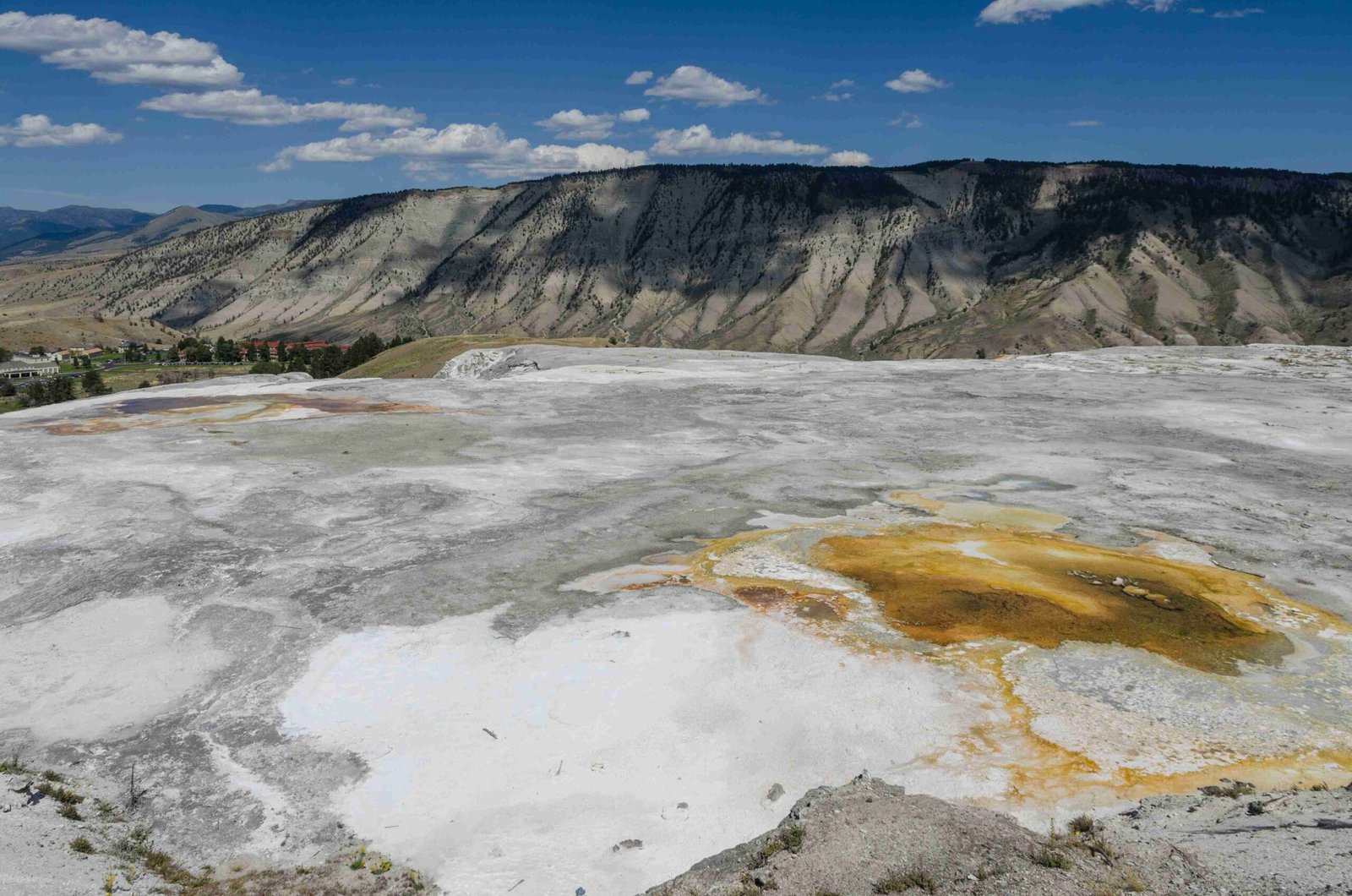
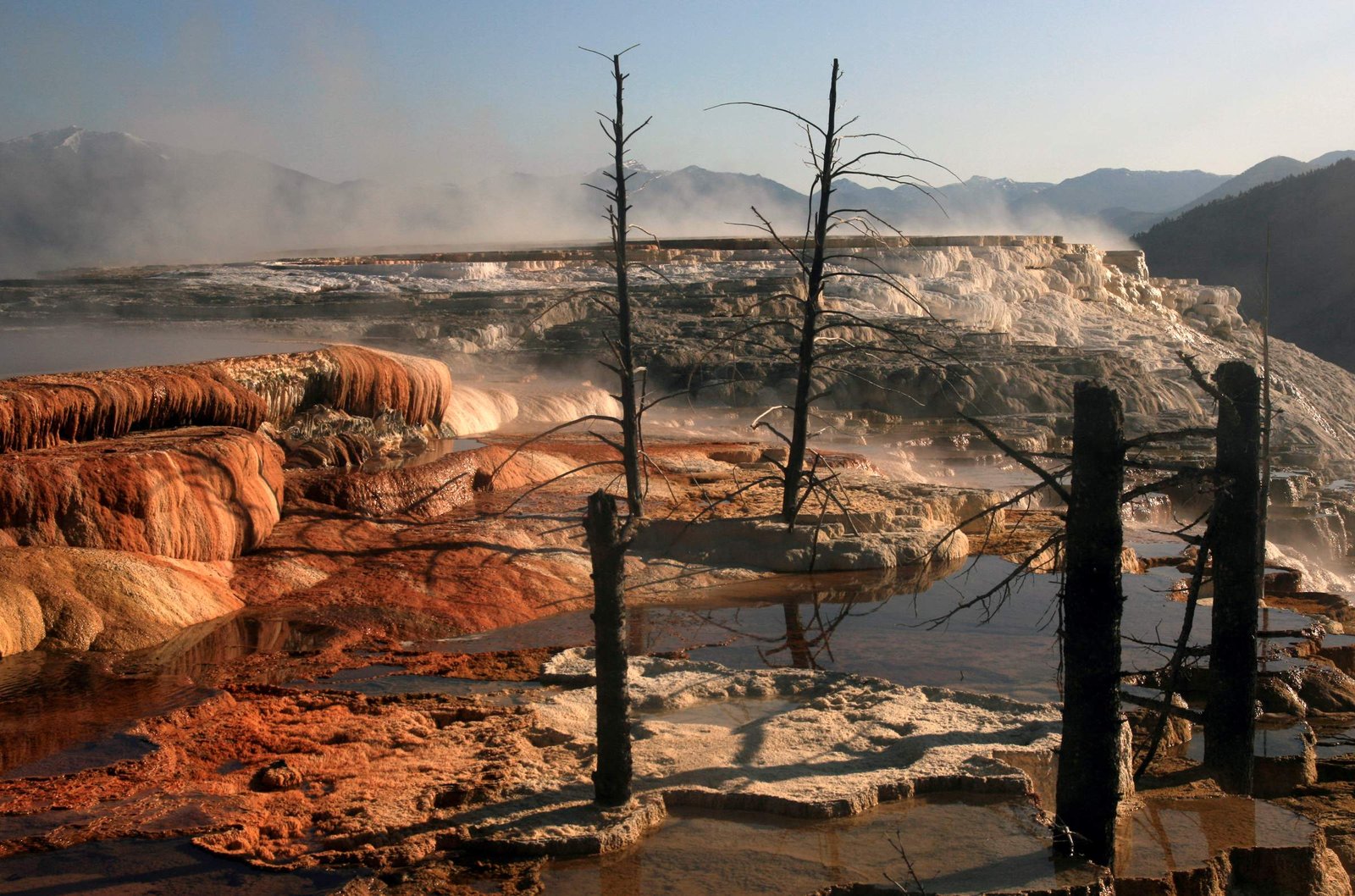
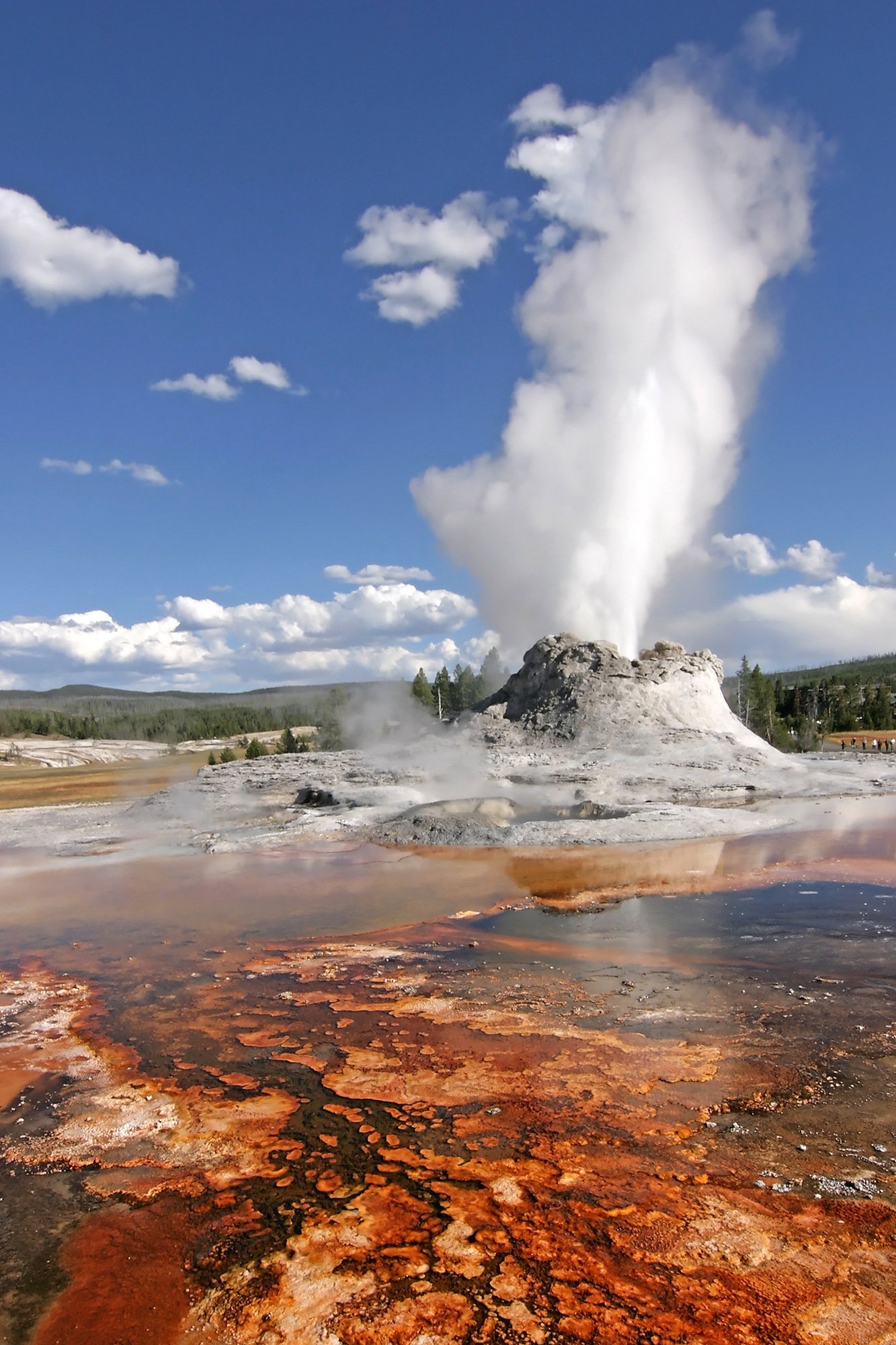
- Geothermal areas (geysers, hot springs, mud pots, fumaroles)
- Glacial features (U-shaped valleys, moraines, erratics)
Let’s explore each of these landforms in more detail.
How Did Volcanic Activity Shape Yellowstone’s Landscape?

Volcanic activity has played a crucial role in shaping Yellowstone’s landscape. The park sits atop a hotspot, an area where magma from the Earth’s mantle rises close to the surface. This has resulted in:
- Yellowstone Caldera: A massive volcanic crater approximately 46.6 miles (75 kilometers) wide, formed by cataclysmic eruptions.
- Lava Flows: Solidified lava that has created vast plateaus and unique rock formations.
- Volcanic Plateaus: Elevated areas formed by the accumulation of volcanic materials over time.
The most recent major eruption occurred about 630,000 years ago, creating the Lava Creek Tuff and shaping much of the current landscape.
What Mountain Ranges Can Be Found in Yellowstone?
Yellowstone National Park encompasses several mountain ranges, each with its own distinct characteristics:
- Gallatin Range
- Beartooth Mountains
- Madison Range
- Absaroka Range
These ranges are part of the Middle Rocky Mountains Physiographic Province and consist of rocks ranging from Precambrian to Upper Cretaceous in age. The mountains have been shaped by tectonic uplift, volcanic activity, and glaciation.
| Mountain Range | Highest Peak | Elevation |
|---|---|---|
| Gallatin Range | Electric Peak | 10,969 ft (3,343 m) |
| Beartooth Mountains | Granite Peak | 12,799 ft (3,901 m) |
| Madison Range | Hilgard Peak | 11,316 ft (3,449 m) |
| Absaroka Range | Francs Peak | 13,153 ft (4,009 m) |
How Were Yellowstone’s River Canyons Formed?
Yellowstone’s river canyons are primarily the result of erosion over millions of years. The most notable canyon is:
The Grand Canyon of the Yellowstone
– Length: Approximately 24 miles (38.6 kilometers)
– Depth: Up to 1 mile (1.6 kilometers)
– Width: 0.25 to 1 mile (0.4 to 1.6 kilometers)
This impressive canyon was carved by the Yellowstone River, with significant contributions from glacial erosion during the Pleistocene era. The canyon’s colorful walls reveal the park’s complex geological history, showcasing layers of volcanic rock and mineral deposits.
What Makes Yellowstone’s Geothermal Features Unique?
Yellowstone’s geothermal features are among the most diverse and numerous in the world. These features include:
- Geysers: Over 500 geysers, including the famous Old Faithful
- Hot Springs: Colorful pools of hot water, such as the Grand Prismatic Spring
- Mud Pots: Bubbling pools of acidic mud and clay
- Fumaroles: Vents that emit steam and gases
These features are powered by the heat from the Yellowstone hotspot and create unique habitats for thermophilic (heat-loving) microorganisms.
How Did Glaciers Influence Yellowstone’s Landscape?
Glaciers have played a significant role in shaping Yellowstone’s landscape during past ice ages. Their influence can be seen in:
- U-shaped valleys
- Glacial erratics (large boulders transported by glaciers)
- Moraines (accumulations of rock and sediment deposited by glaciers)
- Glacial lakes
These glacial features add to the park’s diverse topography and contribute to its unique ecosystems.
What is the Significance of Yellowstone’s Landforms for Ecosystems?
Yellowstone’s varied landforms create a mosaic of habitats that support diverse plant and animal communities:
- Mountain Ranges: Provide habitats for alpine and subalpine species
- River Canyons: Create riparian corridors and support aquatic ecosystems
- Geothermal Areas: Host unique microbial communities and influence local vegetation patterns
- Volcanic Soils: Affect plant distribution and nutrient availability
This diversity of landforms contributes to Yellowstone’s status as one of the largest nearly intact temperate-zone ecosystems on Earth.
How Can Visitors Experience Yellowstone’s Landforms?
Visitors can experience Yellowstone’s landforms through various activities:
- Scenic drives with numerous viewpoints
- Hiking trails of varying difficulty levels
- Guided tours focusing on geology and natural history
- Visitor centers with educational exhibits
- Boardwalks through geothermal areas
Popular locations for experiencing Yellowstone’s landforms include:
- Old Faithful and Upper Geyser Basin
- Grand Canyon of the Yellowstone
- Mammoth Hot Springs
- Lamar Valley
- Mount Washburn
By exploring these areas, visitors can gain a deeper appreciation for the geological processes that have shaped Yellowstone’s unique landscape over millions of years.

