The eruption range of Yellowstone National Park encompasses a vast area centered around the Yellowstone Caldera, measuring approximately 43 by 28 miles (70 by 45 kilometers). This volcanic hotspot, located primarily in northwestern Wyoming with extensions into Idaho and Montana, has a history of massive eruptions dating back millions of years. The park’s geographic coordinates at latitude 44.429764° N and longitude -110.584663° W mark the epicenter of one of Earth’s most active and potentially dangerous volcanic systems.
What is the Geographic Extent of Yellowstone’s Eruption Range?

The eruption range of Yellowstone National Park is primarily defined by the Yellowstone Caldera, a massive volcanic feature that dominates the park’s landscape. Here are the key points about its geographic extent:
- Caldera Size: Approximately 43 by 28 miles (70 by 45 kilometers)
- Location: Primarily in northwestern Wyoming, with portions extending into Idaho and Montana
- Notable Features:
- Yellowstone Lake (partially within the caldera)
- West Thumb (a protrusion on the lake’s western side)
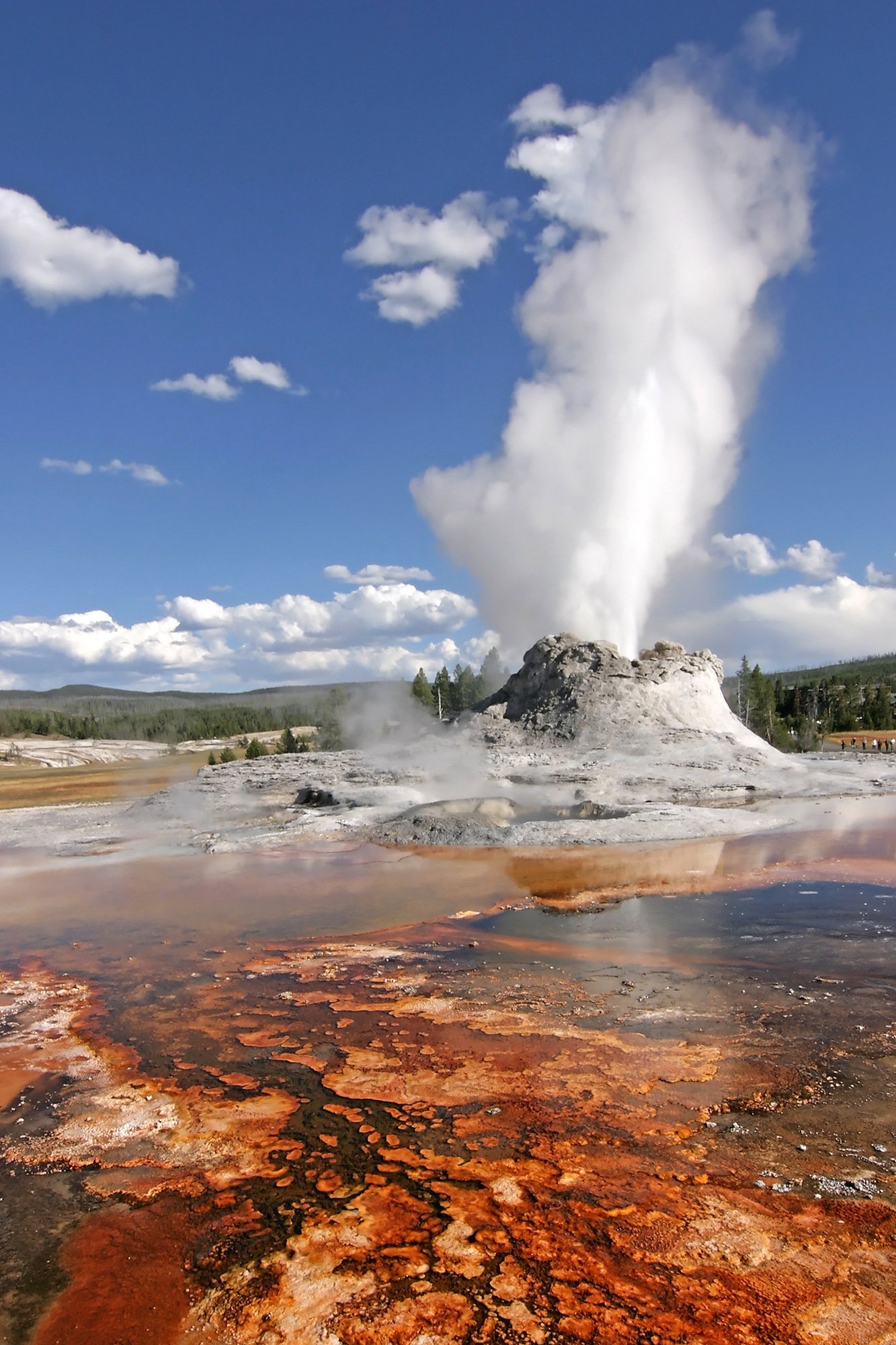
- Old Faithful Geyser
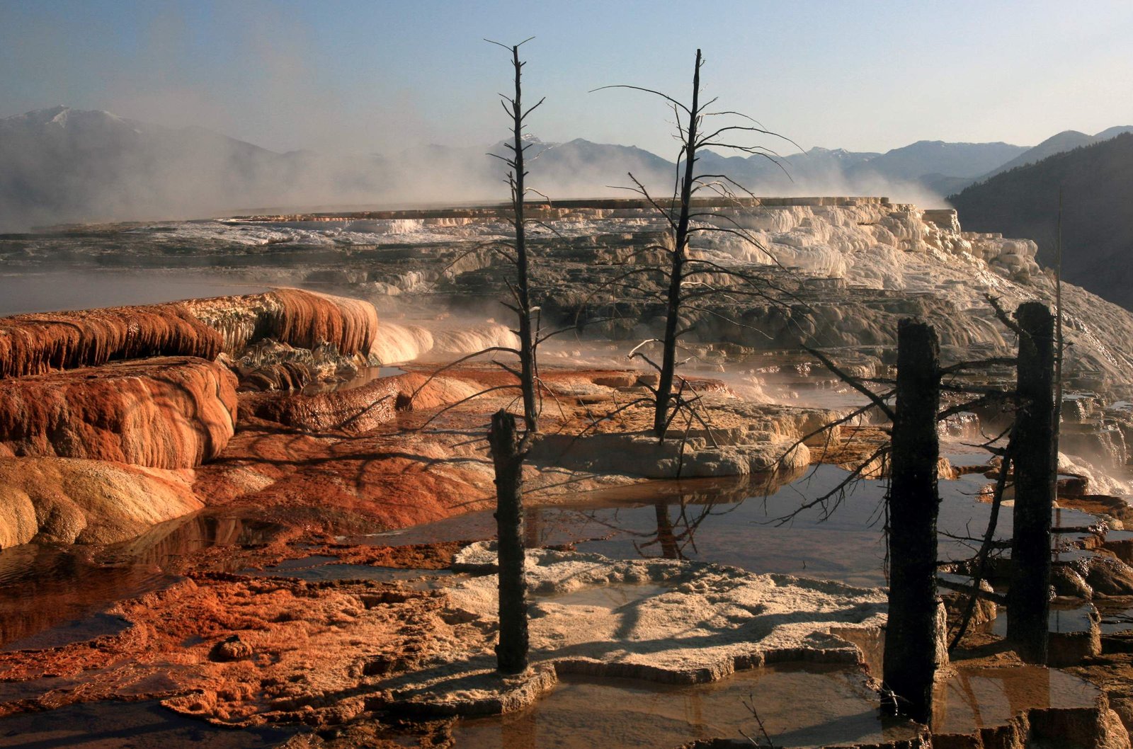
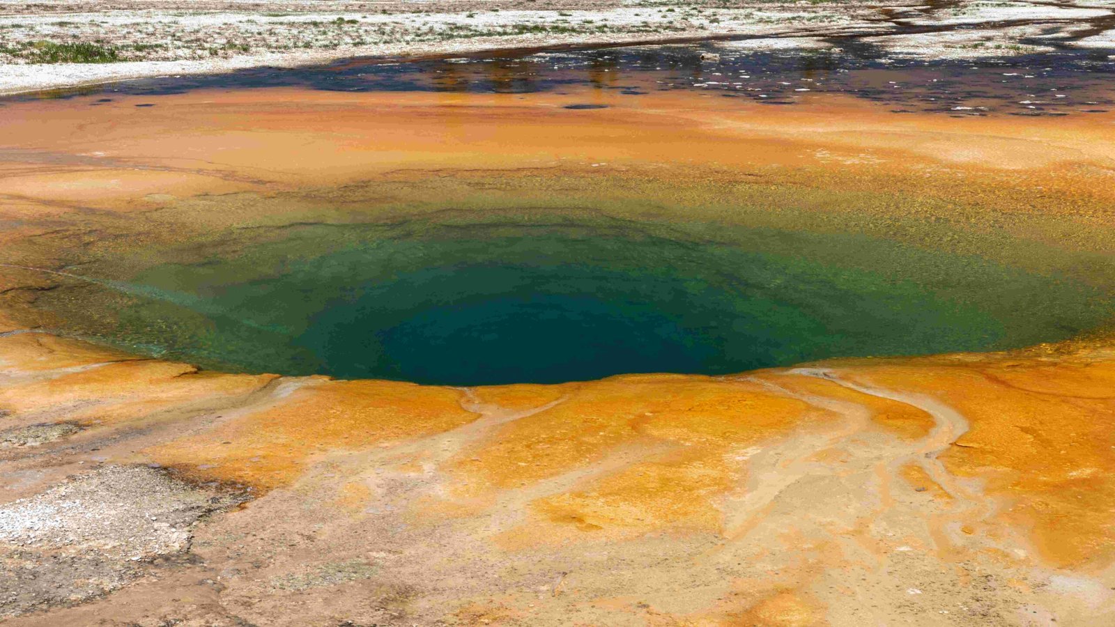
- Numerous hydrothermal vents and basins
The eruption range extends beyond the caldera itself, as past eruptions have affected a much larger area. The Yellowstone Plateau Volcanic Field, which encompasses the caldera, covers an area of about 17,000 square miles (44,000 square kilometers).
What is the Eruption History of Yellowstone?

Yellowstone’s eruption history is marked by cycles of massive eruptions interspersed with periods of relative calm. Here’s a timeline of major events:
- 2.1 million years ago: First major eruption
- Created the Huckleberry Ridge Caldera
- Produced the Huckleberry Ridge Tuff
-
Magnitude: 2,500 times larger than the 1980 Mount St. Helens eruption
-
1.3 million years ago: Second major eruption
- Formed the Henry’s Fork Caldera
-
Produced the Mesa Falls Tuff
-
640,000 years ago: Most recent major eruption
- Created the current Yellowstone Caldera
- Produced the Lava Creek Tuff
In addition to these supereruptions, Yellowstone has experienced:
– Over 110 different eruptions in the Yellowstone Plateau Volcanic Field
– Numerous smaller lava flows and hydrothermal explosions
– Ongoing geothermal activity and small earthquakes
How Deep is the Yellowstone Caldera?
The exact depth of the Yellowstone Caldera is not precisely specified in available sources. However, we can provide some insights into its structure:
- The caldera is classified as a resurgent caldera
- It is underlain by magma chambers that provide heat and energy for large hydrothermal systems
- The depth of these magma chambers varies, with some estimates suggesting:
- A shallow magma reservoir about 3 to 10 miles (5 to 16 kilometers) beneath the surface
- A deeper, larger magma reservoir extending from about 12 to 28 miles (20 to 45 kilometers) below the surface
The complex structure of the caldera and its underlying magma system contributes to the ongoing volcanic and geothermal activity in the region.
What Are the Potential Volcanic Hazards in Yellowstone?
Yellowstone’s volcanic system presents several potential hazards:
- Large-scale Eruptions:
- Potential for catastrophic supereruptions (though extremely rare)
-
Widespread ash fall and pyroclastic flows
-
Hydrothermal Explosions:
- Sudden steam-driven explosions from geothermal areas
-
Can create craters and eject rocks and boiling water
-
Earthquakes:
- Frequent small earthquakes
-
Occasional larger earthquake swarms
-
Ground Deformation:
- Uplift or subsidence of the caldera floor
-
Can affect hydrothermal features and trigger other hazards
-
Gas Emissions:
- Release of volcanic gases like carbon dioxide and hydrogen sulfide
- Potential for localized hazards in low-lying areas
How is Yellowstone’s Volcanic Activity Monitored?
The Yellowstone Volcano Observatory (YVO) is responsible for monitoring and studying the volcanic system. Their methods include:
- Seismic Monitoring: Networks of seismometers to detect earthquakes and ground movement
- Ground Deformation Measurements: GPS and satellite data to track changes in the Earth’s surface
- Gas and Water Chemistry Analysis: Regular sampling of hydrothermal features
- Temperature Monitoring: Tracking changes in geothermal areas
- Remote Sensing: Satellite and aerial observations of the park
This comprehensive monitoring system allows scientists to detect changes that might indicate increased volcanic activity or potential hazards.
What Emergency Response Plans Exist for Yellowstone?
While specific evacuation routes and emergency response plans are not publicly detailed, the following measures are in place:
- Yellowstone Volcano Observatory Alerts: YVO provides regular updates and warnings about volcanic activity
- National Park Service Protocols: Procedures for visitor safety and evacuation in case of emergencies
- Local and Regional Emergency Plans: Coordinated efforts between park authorities and surrounding communities
- Public Education: Information provided to visitors about potential hazards and safety measures
It’s important to note that while the potential for a catastrophic eruption exists, the probability of such an event in the near future is extremely low. The ongoing monitoring and research at Yellowstone help ensure public safety while allowing visitors to experience one of the world’s most unique geological wonders.

