The Bechler River Trail in Yellowstone National Park is a 30-mile backcountry route known for its diverse landscapes, abundant wildlife, and stunning waterfalls. Located in the park’s southwest corner, this trail offers hikers a unique experience through thermal features, lush forests, and scenic river valleys. The trail requires careful planning, proper permits, and adherence to park regulations for a safe and enjoyable adventure.
What Are the Key Details of the Bechler River Trail?

The Bechler River Trail is a challenging backcountry route that offers hikers a diverse and rewarding experience in Yellowstone National Park. Here are the essential details:
- Trailhead Location: Accessible from the Bechler Ranger Station along Cave Falls Road
- Trail Length: Approximately 30 miles (48 km) one-way, with variations up to 34 miles
- Elevation: Significant changes, reaching above 8,500 feet in some sections
- Trail Conditions: Rocky terrain, river crossings, and varied vegetation
The trail winds through forests, meadows, and along the Bechler River, offering hikers a chance to experience the park’s diverse ecosystems and geological features.
What Permits and Regulations Apply to the Trail?

Hiking the Bechler River Trail requires careful planning and adherence to park regulations:
- Backcountry Permit: Required for overnight camping, fishing, and other activities
- Designated Campsites: Must be used, with campfires only allowed in established fire rings
- Food Storage: Proper storage 100 yards from campsites in bear-resistant containers or on food poles
- Group Size: Hike in groups of 3 or more for safety
- Trail Etiquette: Stay on established trails and follow Leave No Trace principles
It’s crucial to obtain necessary permits and familiarize yourself with all park regulations before embarking on your journey.
What Are the Scenic Highlights Along the Trail?
The Bechler River Trail offers numerous scenic highlights that make it a favorite among experienced hikers:
- Lone Star Geyser: Yellowstone’s largest backcountry geyser
- Shoshone Lake and Geyser Basin: One of the largest wilderness lakes in the lower 48 states
- Bechler Canyon and “Mr. Bubbles” hot springs: A series of soaking hot springs
- Colonnade Falls and Iris Falls: Spectacular waterfalls along the river
| Highlight | Description |
|---|---|
| Lone Star Geyser | Erupts 30-45 feet high |
| Shoshone Lake | Large wilderness lake |
| “Mr. Bubbles” | Natural hot springs for soaking |
| Colonnade Falls | Impressive waterfall along the trail |
September is considered an ideal time for photography due to fewer bugs, manageable stream crossings, and vibrant vegetation.
How Should Hikers Prepare for Wildlife Encounters?
Wildlife encounters are common along the Bechler River Trail, and proper preparation is essential:
- Common Wildlife:
- Bison: Frequently seen along the trail
-
Bears: Present in areas with ripe fruit and berry bushes
-
Safety Precautions:
- Travel in groups of 3 or more
- Make noise while hiking to avoid surprising animals
- Maintain a safe distance from all wildlife
- Properly store food and trash to avoid attracting animals
Hikers should be vigilant and follow all park guidelines for wildlife safety, especially in areas known for bear activity.
What Are the Best Strategies for a Successful Hike?
To ensure a successful and enjoyable hike on the Bechler River Trail, consider the following strategies:
- Plan Ahead:
- Obtain necessary permits well in advance
- Study the trail map and plan your daily mileage
-
Check weather forecasts and trail conditions
-
Pack Appropriately:
- Bring bear spray and know how to use it
- Pack appropriate clothing for varying weather conditions
-
Carry sufficient water and water purification methods
-
River Crossings:
- Be prepared for multiple river crossings
- Bring appropriate footwear for wet conditions
-
Use caution during high water periods, typically in early summer
-
Physical Preparation:
- Train for long-distance hiking and elevation changes
-
Build endurance for carrying a heavy backpack
-
Leave No Trace:
- Pack out all trash
- Use designated campsites and fire rings
- Minimize impact on the natural environment
By following these strategies, hikers can maximize their enjoyment of the Bechler River Trail while ensuring their safety and preserving the natural beauty of Yellowstone National Park.
What Unique Features Set the Bechler River Trail Apart?
The Bechler River Trail offers several unique features that distinguish it from other trails in Yellowstone:
-
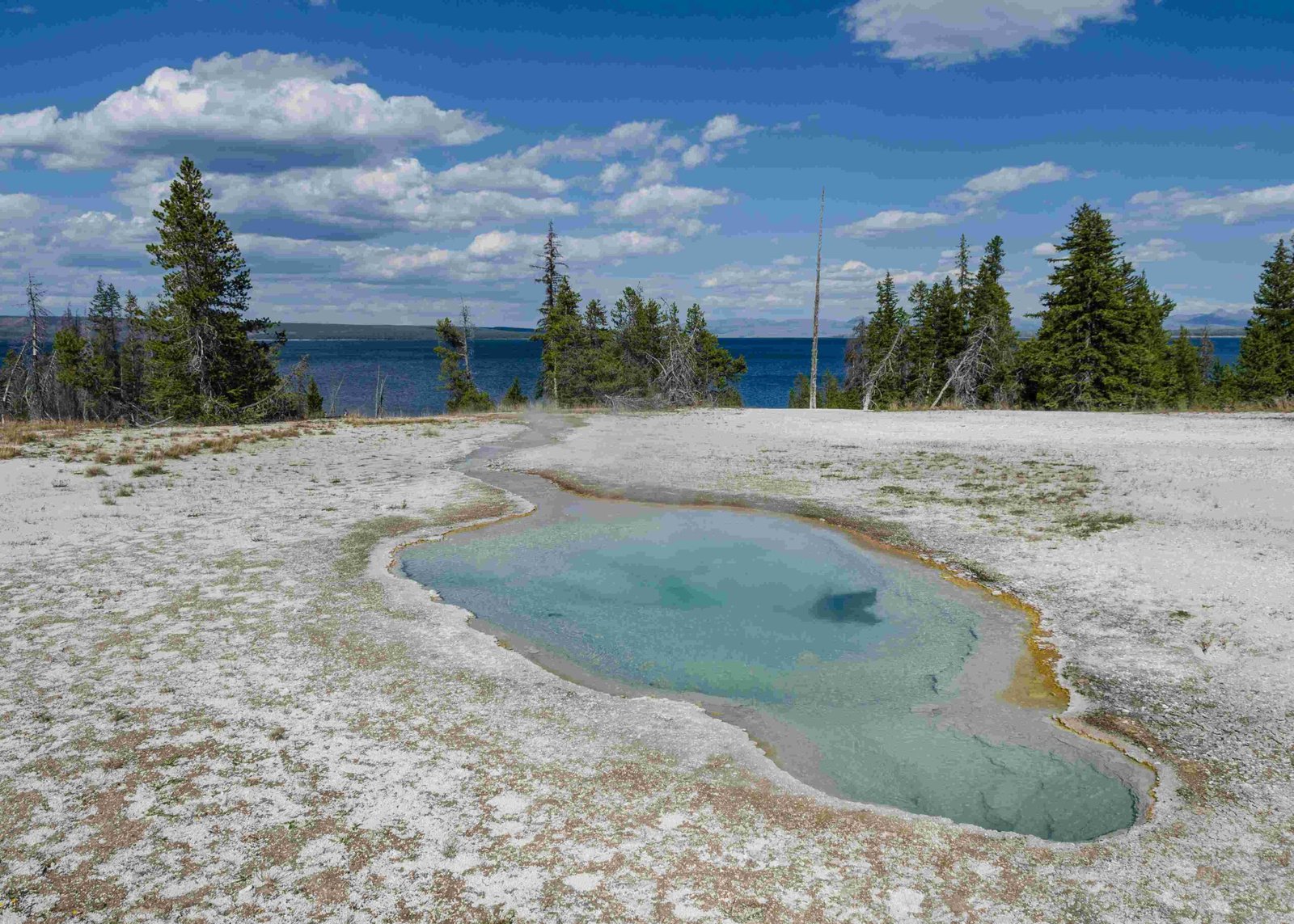
Thermal Features: The trail passes by numerous hot springs and geysers, including the impressive Lone Star Geyser and the “Mr. Bubbles” hot springs.
-
Waterfalls: Known as the “Cascade Corner” of Yellowstone, the trail showcases spectacular waterfalls such as Colonnade Falls and Iris Falls.
-
Diverse Ecosystems: Hikers experience a variety of landscapes, from dense forests to open meadows and river valleys.
-
Remote Wilderness: The trail offers a true backcountry experience, away from the more crowded areas of Yellowstone.
-
Wildlife Viewing: Opportunities to observe diverse wildlife in their natural habitat, including bison, bears, and various bird species.
These unique features make the Bechler River Trail a sought-after destination for experienced hikers seeking a comprehensive Yellowstone backcountry experience.
How Can Hikers Minimize Their Environmental Impact?
Preserving the natural beauty of the Bechler River Trail is crucial for future generations. Hikers can minimize their environmental impact by:
- Following Leave No Trace principles rigorously
- Using designated campsites and fire rings only
- Properly disposing of waste and packing out all trash
- Staying on established trails to prevent erosion and protect vegetation
- Respecting wildlife by maintaining a safe distance and not feeding animals
- Using biodegradable soap and disposing of wastewater properly
By adhering to these practices, hikers can help maintain the pristine condition of the trail and its surrounding ecosystem.
What Are the Best Times to Hike the Bechler River Trail?
The best time to hike the Bechler River Trail depends on various factors:
| Season | Pros | Cons |
|---|---|---|
| Summer (July-August) | Warmer temperatures, longer daylight | More crowded, higher water levels |
| Fall (September-October) | Fewer bugs, beautiful foliage, lower water levels | Cooler temperatures, shorter days |
| Spring (May-June) | Wildflowers in bloom, fewer crowds | High water levels, muddy trails |
September is often considered the ideal month for hiking the trail due to:
– Manageable stream crossings
– Fewer insects
– Beautiful fall colors
– Comfortable temperatures
Winter hiking is not recommended due to extreme weather conditions and trail closures.
Remember to always check current trail conditions and weather forecasts before planning your trip, regardless of the season.

